
What started as an effort to understand India’s farms is now becoming a global agricultural tool.
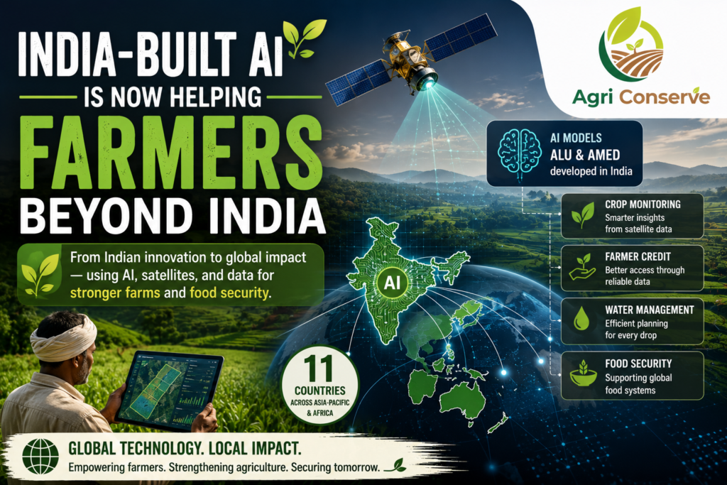
Google DeepMind has developed two AI models in India that analyse satellite imagery to understand agricultural landscapes and detect changes in farming activity. The models—Agricultural Landscape Understanding (ALU) and Agricultural Monitoring & Event Detection (AMED)—are now being used beyond India, with applications reaching 11 countries across Asia-Pacific and Africa.
The technology can identify field boundaries, monitor crops and provide information that can support agricultural decisions. What makes the development interesting is where that information is going.
It is no longer being used only to understand what is happening in Indian fields.
From Satellite Images to Farmer Decisions
A satellite image can tell us much more than what a field looks like.
When AI processes large amounts of imagery, it can help identify where agricultural activity is taking place, how fields are changing and where additional information may be needed. These insights can then support crop advisories, agricultural planning and even access to finance.
The models are already being used in areas connected to farmer credit, crop advisories, water management and food-security data. Some of the data is also being incorporated into the Food and Agriculture Organization’s global food-security systems.
That creates an interesting connection between something happening thousands of kilometres above the ground and a decision being made by a farmer on it.
Why This Matters for Small Farmers
For a large commercial farm, investing in sensors, drones and farm-monitoring systems may be possible.
For a smallholder farmer, it can be much harder.
Satellite-based systems can potentially provide useful agricultural information without requiring every farmer to own sophisticated equipment. That makes this type of technology particularly interesting for countries where millions of small farms are spread across large areas.
The bigger challenge is turning the information into something farmers can actually use.
A highly accurate AI model is of limited value if its findings never reach the farmer in a practical form.
From India to Africa and Asia
The international expansion of these models is perhaps the most important part of the story.
Agriculture varies enormously between countries, but many farming challenges are shared: water shortages, changing weather, crop monitoring, land management and limited access to reliable information.
AI trained and developed using agricultural data from one region could therefore become a starting point for solving problems elsewhere—provided it is adapted to local crops, landscapes and farming systems.
That last part matters.
Agriculture is local, even when the technology is global.
The success of AI in farming will ultimately depend not on how impressive the model is, but on whether it produces information that researchers, governments and farmers can trust and act upon.
And perhaps that is where India’s latest agricultural technology story becomes bigger than India itself.