
A farmer normally checks a crop by walking through the field. But increasingly, the first warning that something is wrong can come from hundreds of kilometres above it.
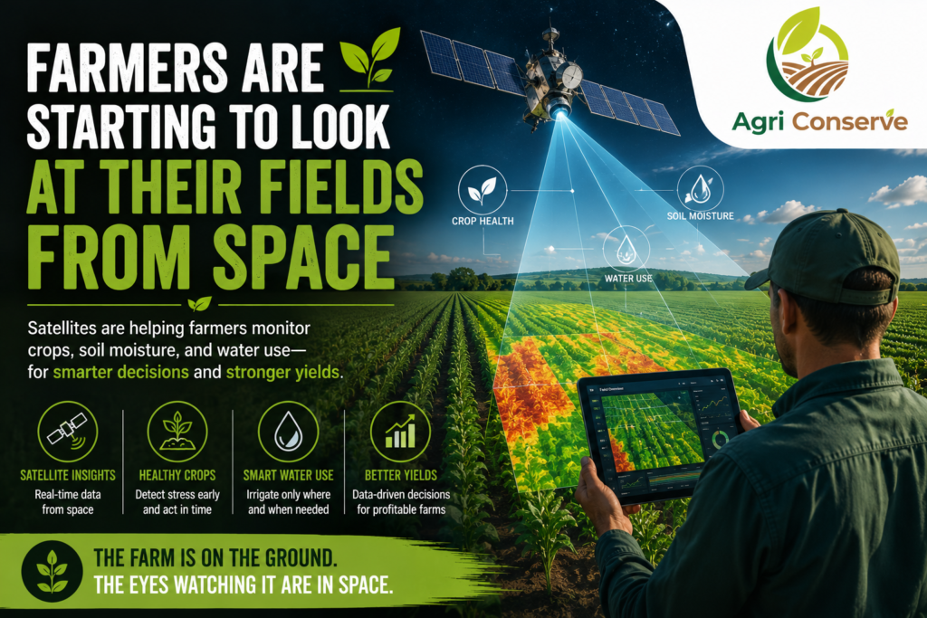
Satellites are giving farmers a new way to monitor crops, soil moisture and water use—sometimes identifying problems before they are obvious from the ground.
NASA’s Landsat programme, for example, is being used to analyse crop health, identify areas needing irrigation or fertilizer, measure agricultural water use and assess damage from droughts and floods.
The technology is becoming particularly useful as farms become larger and water becomes more difficult to manage. Instead of treating an entire field in the same way, satellite observations can help identify areas that are healthy and areas where plants are beginning to experience stress.
From Images to Farm Decisions
The real value isn’t simply having a picture of a field.
Thermal and other satellite measurements can reveal differences in plant temperature and water use. NASA’s ECOSTRESS instrument, for instance, can measure surface temperatures at the scale of individual agricultural fields and help identify water stress.
That information can support decisions about when to irrigate and where water is actually needed.
NASA is also working through programmes such as NASA Acres and NASA Harvest to turn Earth-observation data into practical agricultural tools. NASA Harvest has a global focus, while NASA Acres works specifically with U.S. agriculture.
The Next Step Is Making Space Data Useful on the Ground
For farmers, satellite technology only matters if it leads to a better decision.
A complicated map is not enough. The information has to tell a farmer something useful: Which part of my field needs attention? Is the crop becoming water-stressed? Should I irrigate now?
That is where agriculture is entering an interesting new phase.
The farmer of the future may still walk through the field, touch the soil and inspect the plants. But before doing that, they may already have looked at what the satellites are seeing.
The farm is still on the ground. The eyes watching it are increasingly in space.